Monitoring Wells Information


The Panhandle Groundwater Conservation District performs yearly water level measurements on a network of wells throughout the district to determine yearly aquifer changes for the purposes of science, data collection, planning, and IRS depletion allowances.

To see the levels PGCD measures, view the July Newsletter.

The water levels are measured during the winter months when the irrigation demands are lower so that a representative static water level can be obtained.

Panhandle Groundwater Conservation District cooperates with the Texas Water Development Board to monitor several wells that are satellite linked. The map below shows the locations of these wells (click map to enlarge). To access the water level data and graphs, select the well you would like to view then click on the link in the table below.


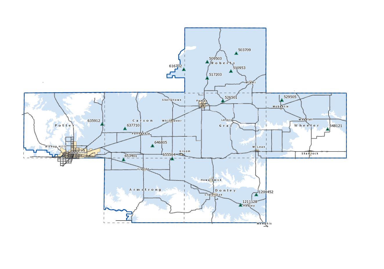
SATELLITE MONITORING WELLS

 Armstrong County  
 653401  Data/Graph
 655504  Data/Graph


 Carson County  
 646805 Data/Graph 
 637710                                 Data/Graph


 Donley County  
 1204452  Data/Graph
 1211128                        Data/Graph 


 Gray County  
 526501  Data/Graph


 Hutchinson County  
 616702  Data/Graph


 Potter County  
 635912  Data/Graph


 Roberts County  
 503709  Data/Graph
 509553  Data/Graph
 510953  Data/Graph
 517203  Data/Graph


 Wheeler County  
 529505  Data/Graph
 539904  Data/Graph


The Panhandle Groundwater Conservation District will strive to develop, promote and implement water conservation, augmentation and management strategies to protect water resources for the benefit of the citizens, economy, and environment of the District.


FOLLOW US


NEWSLETTER


Sign up to know what is the most recent news at Panhandle Groundwater Conservation District right in your email inbox.